

How Weak La Niña and Polar Vortex Predictions Affect Winter Weather in 2024/2025: What to Expect
As we gear up for the winter season of 2024/2025, it’s worth considering two weather phenomena that could shape the chilly months ahead: a weak La Niña and the notorious Polar Vortex. Both have the potential to orchestrate significant shifts in weather patterns, particularly across the vast expanses of North America. This article delves into these atmospheric players and offers insights into what they could mean for this year’s winter forecasts.
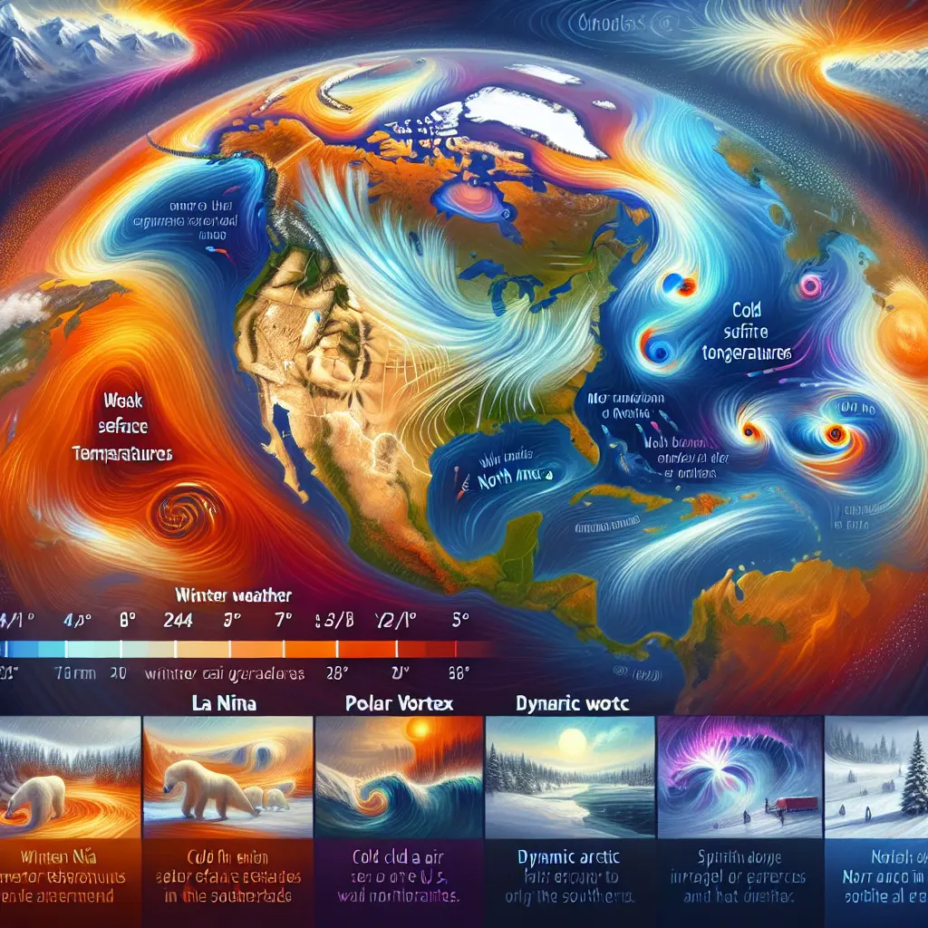
Understanding La Niña
For those unfamiliar, La Niña is part of a naturally occurring climate cycle in the Pacific Ocean, known as the El Niño-Southern Oscillation (ENSO). Characterized by colder-than-average sea surface temperatures in the central and eastern equatorial Pacific, La Niña has a knack for triggering widespread global weather anomalies. The winter of 2024/2025 is marked by a weak La Niña, expected to influence climate patterns until the early months of spring. For further details, check out the National Weather Service's Winter 2024-25 Outlook.
Impact on Winter Weather
North America could witness eye-catching shifts in temperatures and precipitation under La Niña’s influence. Historically, northern regions brace for icy temperatures while southern counterparts might bask in milder warmth and dryness. The NOAA Climate.gov updates further elaborate on this dynamic, highlighting the nuances of how a weak event might lead to these familiar patterns but with diminished intensity.
The Role of the Polar Vortex
The Polar Vortex, often demonized in winter headlines, is essentially a high-altitude circle of winds that form near the Pole. While it usually fences in glacial air masses, any weakening can spill frigid air southwards, reshaping winter weather in the lower latitudes, particularly the United States and Canada.

Interaction with La Niña
Behind the climatic scenes, La Niña and the Polar Vortex can team up, creating a climactic symphony where atmospheric circulation patterns toss cold air deeper into the continent. An interactive association implies regions, especially northern territories, could oscillate between starkly chilly periods and more temperate windows of weather. More can be read from the Severe Weather EU forecast, providing a holistic glimpse into these dramatic possibilities.
What to Expect This Winter
Forecasting isn’t just about predicting temperatures but anticipating a symphony of climatic elements interplaying over months. Contemplate these possibilities:
- Temperature Patterns: Expect unusually brisk conditions northward with warmer climes extending into the southern reaches. Though a quintessential La Niña picture, the weak status can taper the extent of these contrasts.
- Precipitation: Rain-averse southern areas could face yet drier spells, whereas the northern zones might deal with ample snowfall.
- Cold Air Outbreaks: Instances of biting chills might arise when the Polar Vortex loosens its icy grip and spills out.
- Drought Conditions: Southern belts struggling with water woes may see issues magnifying.

Looking Ahead: Transition to Neutral Conditions and Potential El Niño
As winter slides into later months, the telltale signs of transitioning ENSO conditions may linger in the background, hinting at a return to neutrality by late 2025. Perhaps an El Niño brewing for the end of next year could upend the weather balance yet again. These undulating cycles underscore the dance between known predictability and nature's inherent surprises. The forthcoming Severe Weather EU update alludes to these potential shifts.
Conclusion
This winter promises an intriguing medley of weather conditions shaped by both a weak La Niña and potential Polar Vortex activities. While northern locales should prep for biting chills, the south may experience comfortable respite. However, the relatively modest influence of a weak La Niña event indicates a season less extreme in temperature variability. Looking forward, winter blends caution with preparedness, reminding us to stay vigilant about climate trends and their sweeping impacts.

For those interested in the equestrian world, knowing the seasonal changes helps riders choose the right apparel and gear. Stay informed and prepared!
